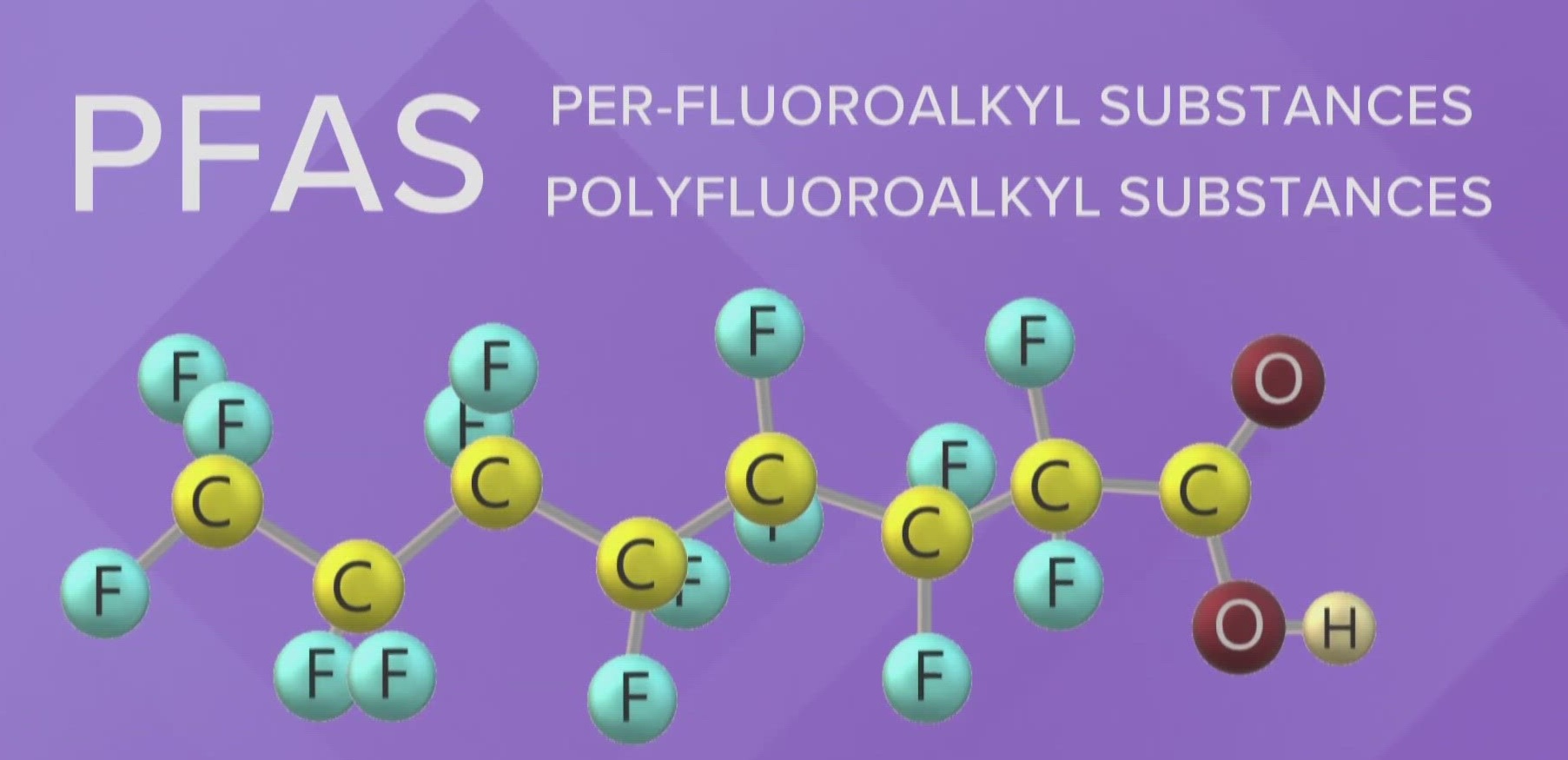
Project: United States Department of Defense, AK
Download our PFAS Investigation AK project here: PFAS Investigation AK Case Study
Objectives:
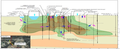
- Map PFAS presence and migration pathways across glaciofluvial and glaciolacustrine deposits primarily within permafrost
- Generate aquifer characteristic data under complex protocols
- Achieve stringent data quality objectives
Services: Geologic data collection; Monitoring well construction; Aquifer testing; and Groundwater sample collection
Applied Science/Technologies: Sonic well drilling; Geochemical instrumentation; Well packer systems; Data loggers; and Lysimeters
Brownfield Science & Technology, Inc. (BSTI) was engaged to support an ongoing multi- year investigation of PFAS distribution across soil and groundwater systems at a military installation in Alaska.
The investigation targeted groundwater within shallow and deep bedrock horizons. Monitoring well drilling methodologies utilized sonic drilling to advance well boreholes to depths ranging 150’-250’ bgs.
Deep aquifer well installation required the insertion of PFAS-free water mixed with a fluorescent dye to provide sufficient head pressure to overcome sediment intrusion into the stainless steel well screen. BSTI personnel subsequently prepared the monitoring wells for groundwater sampling by purging the dye traced water until colorimetric and aquifer parameters (e.g., DO, pH, turbidity, conductivity, etc.) met native conditions. The colorimetric and aquifer parameters were measured using prepared standards and calibrated field instruments at a rate of three readings per every five minutes.
Groundwater sample collection methodology included PFAS-free sampling devices and sample handling.
Subsequent to groundwater sampling, falling and rising head aquifer tests were performed by installing well packers, pressurizing the targeted interval, and recording resultant rebound data using dataloggers.
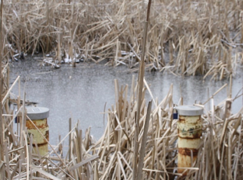
To assess the effects of potential infiltration from the vadose zone due to snow melt, lysimeters were installed at three different horizons within a deep well cluster. The lysimeters collected porewater from the formation to ascertain if and how surficial PFAS was entering the formation.